
Agricultural intelligence
Smart tools and insights to boost your farm's health and yield
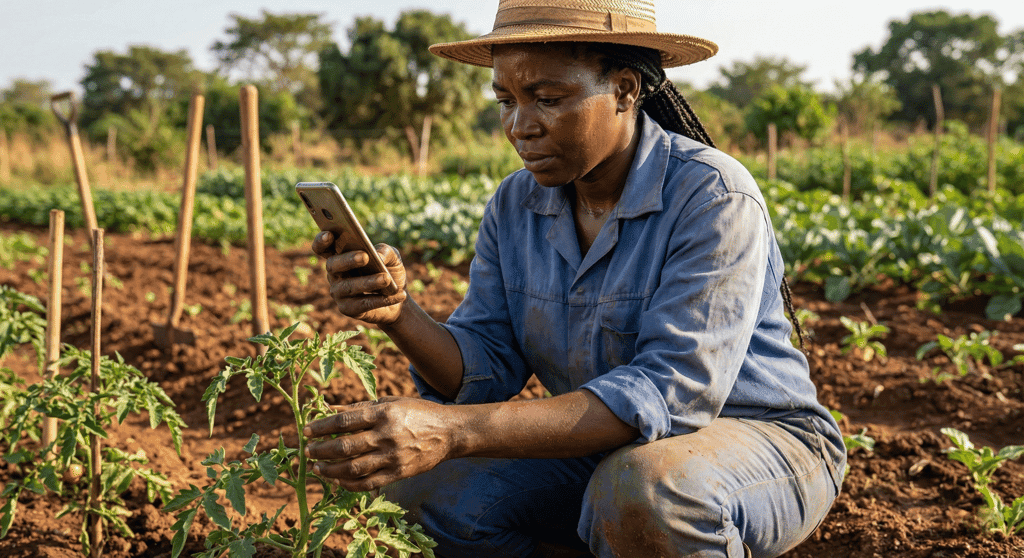
Turn simple field observations into working insight. Farmers record soil and field data in the app, and the platform responds with plans, alerts and recommendations built around their soil, weather and crops. The interfaces below show the shape of the product with demonstration values.
Smart soil diagnostic
Farmers enter soil and field observations in the app; the platform turns them into a personalized crop plan and climate-adaptive schedule.
Early disease detection
AI and satellite monitoring flag anomalies early, so outbreaks are stopped before they damage yield.
Precision fertilization
Protocols tailored to each field, soil condition, crop stage and nutrient balance, cutting waste while feeding the crop.
Interfaces shown with demonstration values. Data in your workspace comes from your own fields and records.
Precision agriculture for Africa
One dashboard for every hectare you steward
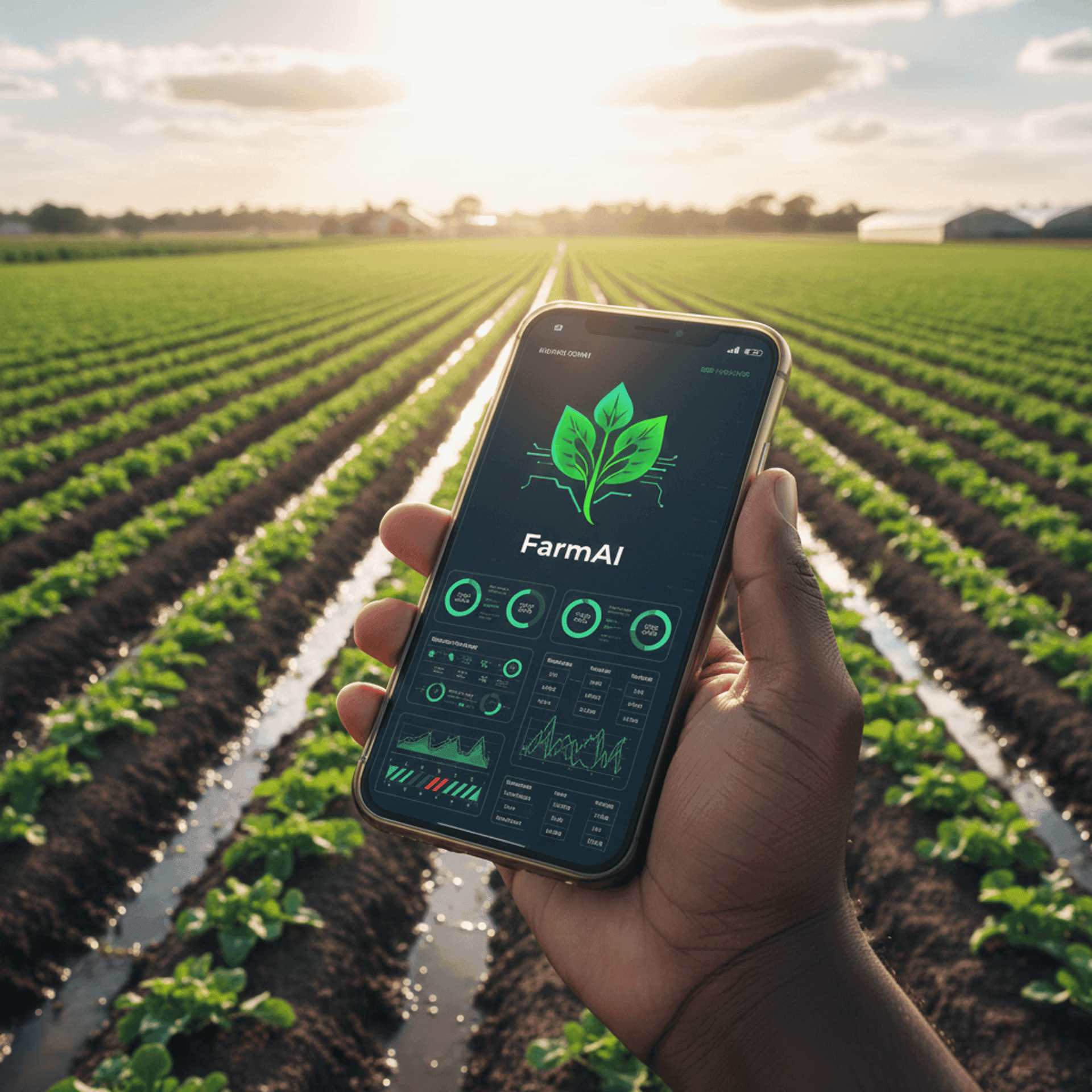
Manage multiple plots, farmer groups or whole regions from a single interface. Monitor performance trends, climate risks and productivity as they happen.
Satellite intelligence
Space-grade monitoring, grounded in the field
Satellite imagery analytics
Monitor field health, moisture, stress and vegetation indices (NDVI, EVI, NDWI) with multi-spectral imagery, hectare by hectare.
Climate-smart decisions
Models combine satellite data, forecasts, soil profiles and history to plan irrigation and avoid climate risks.
Open integrations
Agribusinesses and cooperatives connect FarmAI intelligence into their ERP and supply chain systems through our API.
Interfaces shown with demonstration values.
The platform
One platform, eight core capabilities
Each capability is useful on its own. Together they form a complete operating system for agricultural value chains.
Digital Farmer Passport
home.statusLiveOne verified identity per farmer, carrying profile, trust history and certificates. The passport follows the farmer, not the paperwork.
Digital Farm Passport
home.statusLiveEvery farm gets a verified map and record, ready to share with cooperatives, buyers and financiers.
Weather Intelligence
home.statusLiveHyper-local forecasts and early warnings delivered to the people who need them, in time to act.
Earth Observation
home.statusPilotSatellite-derived vegetation health (NDVI) per farm, turning hectares of imagery into one clear signal.
AI Agronomic Copilot
home.statusLiveAsk a question in plain language, get grounded agronomic advice, in English or French.
Credit Intelligence
home.statusLiveA transparent, data-driven readiness profile that helps financial partners say yes faster.
Financing Discovery
home.statusPilotMatch farmers and cooperatives with financing programs they actually qualify for, then refer them onward.
Season & Activity Tracking
home.statusLivePlan the season, log every activity, and close each cycle with evidence instead of guesswork.
Status reflects what is running on the platform today. Satellite readings currently use demonstration imagery while pilot credentials are being provisioned.